|
|
|

|
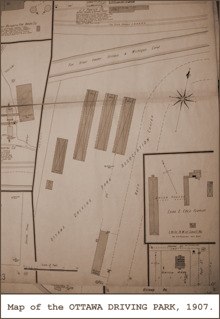
Geography Dept.The OTTAWA DRIVING PARK was located in Ottawa, IL about 1/4 mile West of the Fox River. GPS coordinates are: 41° 21' 30" N 88° 50' 05" W.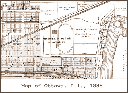
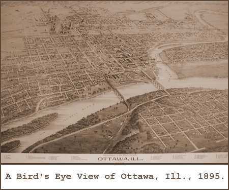
Our first view of the OTTAWA DRIVING PARK is seen in this city plat from 1888.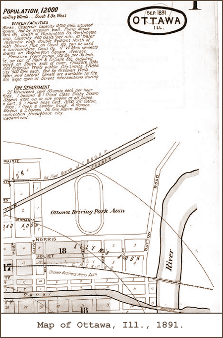
The detail of the barn area & grandstand is absent in this 1891 plat.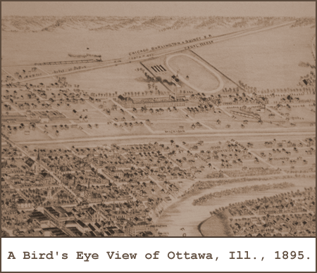
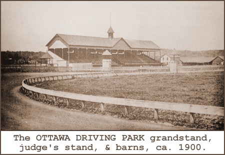
Close up of the OTTAWA DRIVING PARK. Notice how the grandstand and barns match the map below from 1907.Picture Gallery.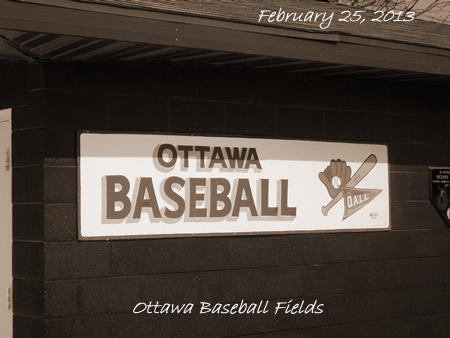
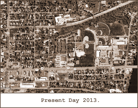
The OTTAWA DRIVING PARK is now occupied by a number of baseball diamonds used by Ottawa youth baseball teams. The "OALL" stands for the "Ottawa American Little League".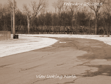
A current view today looking North at what would have been the far turn.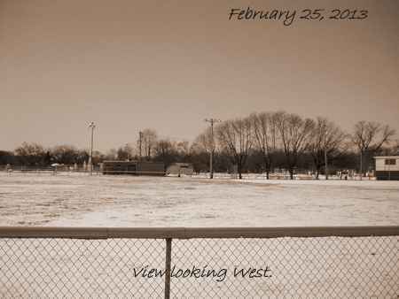
This is a view today looking West across the infield to what would have been the Grandstand.Headlines.
|
History Dept.The OTTAWA DRIVING PARK association was organized in August, 1883 with these officers: L. Perkins, president; J.M. French, vice-president; W.W. Taylor, secretary; E.C. Allen, treasurer. These gentlemen, with M. White, L.W. Hess, I.W. Rogers, A. Frank and W.H. Hull, formed the board of directors. The first race meeting was held August 14th to 17th, inclusive.
|