
|
|
|

|
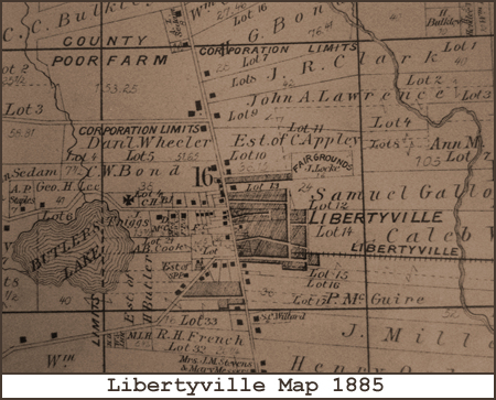
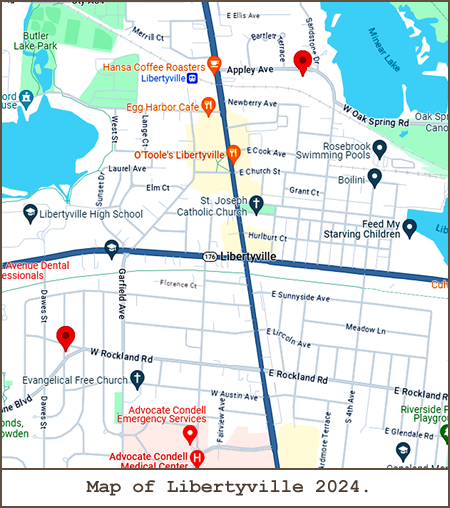
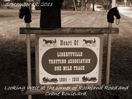
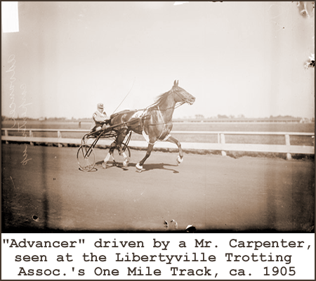
Geography Dept.The LIBERTYVILLE Trotting Assoc.'s One Mile Track was located at the present intersection of Carter Street and Crane Boulevard. GPS coordinates are: 42° 16' 44" N, 87° 57' 51" W.
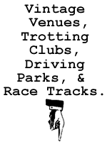
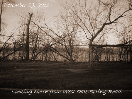
This map from 1907 shows where the LIBERTYVILLE Trotting Assoc.'s One Mile Track stood in relation to the city's downtown area.The first LIBERTYVILLE Fairgrounds was situated on the County Poor Farm just North of Winchester Road. GPS coordinates are: 42° 17' 42.80" N, 87° 57' 21.51" W.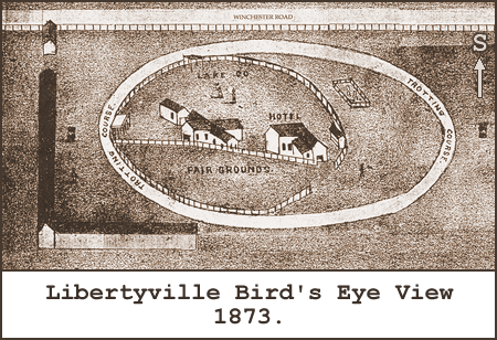
This detail from a crude 1873 map shows the 1/3 mile trotting course in all its splendor, complete with an infield hotel!
|
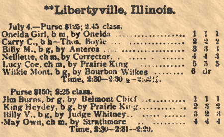
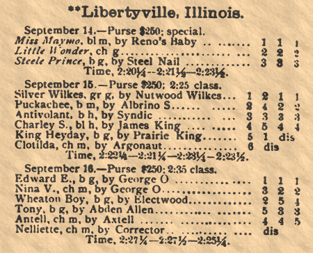
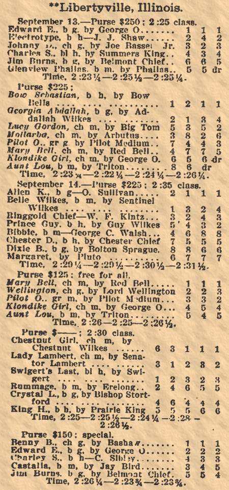
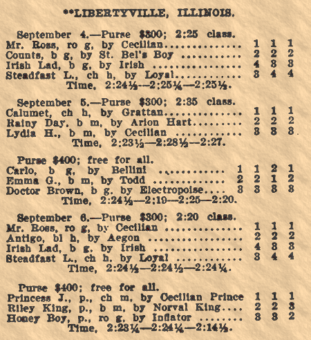
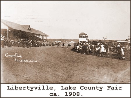
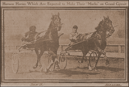
History Dept.Libertyville was home to three harness racing venues. The Libertyville Trotting Assocation operated a one mile plant from 1904 through 1918.
* According to the source at lakecountyhistory.blogspot.com. |


|
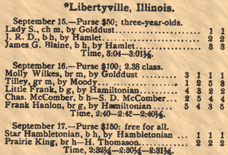
Read all about it in THE ILLINOIS TROTTING CHRONICLES! |
Headlines.
1907.
Advertisments.


|
|