|
|

|

|
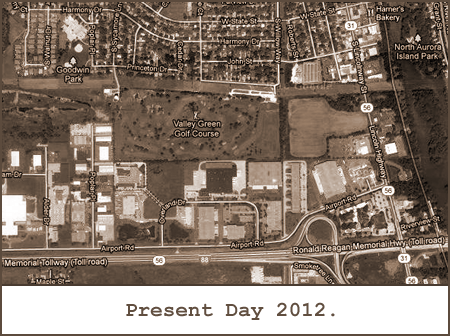
Geography Dept.AURORA DOWNS was located just west of the Fox River in North Aurora, Kane County, Illinois. GPS coordinates are: 41° 47' 57" N 88° 19' 30" W.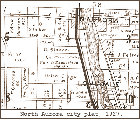
AURORA DOWNS got its start as the Central States Fair & Exposition, seen here at the center of this plat from 1927.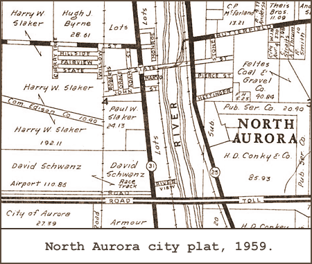
This plat from 1959 shows more precisely the racetrack at Route 31 just north of the I-5 toll road (now I-88).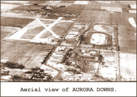
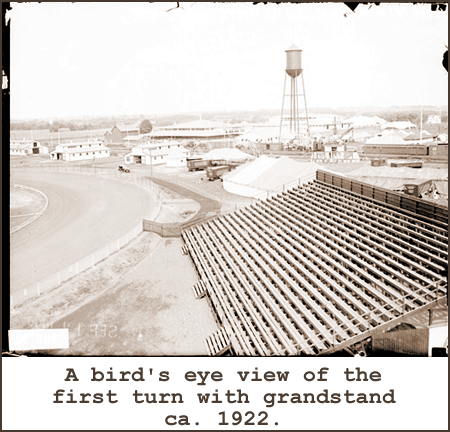
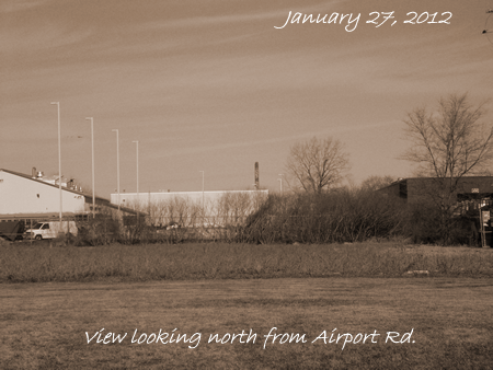
You can still make out the original mile track in this early aerial view of AURORA DOWNS.
to the Program Department! 
|
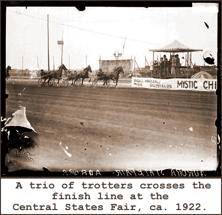
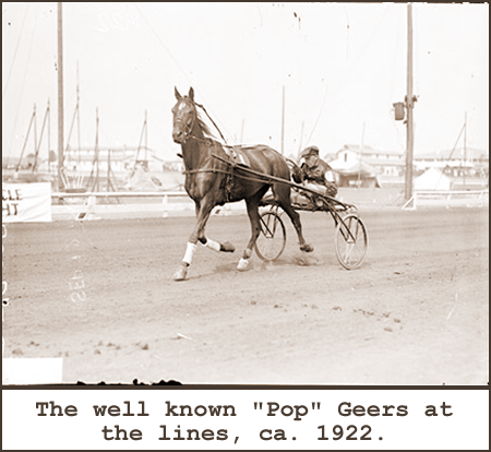
History Dept.AURORA DOWNS opened in 1922 as the center piece of the Central States Fair
and finally closed in 1976. When erected in 1921, the grandstand was the largest concrete and steel grandstand in the nation. The Central States Fair ran until 1931. It was also the first place to have legalized gambling in Illinois.
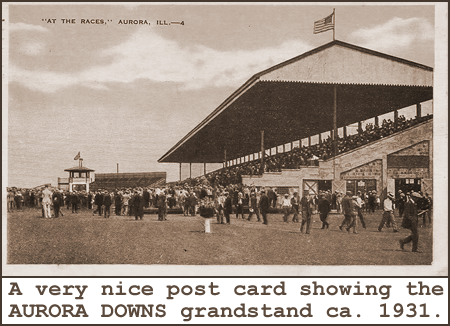
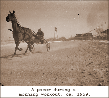
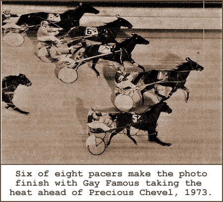
According to the Chicago Tribune, "More than 30,000 racing fans croweded Aurora Downs track at the height of the 1937 Season." It originally opened as a mile track but reopened as a half mile track in 1946. It was resurrected in 1978, as FOX FIELDS, but shut down again in 1981 after picketing by Chicago union members protesting the use of nonunion help at the track.Memory Lane.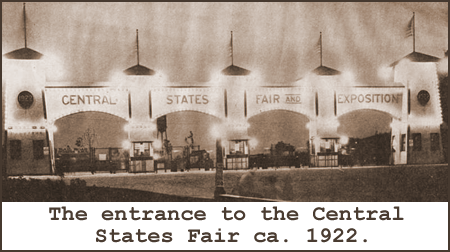
-- Image Source: Don D.
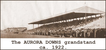
-- Image Source: Don D.
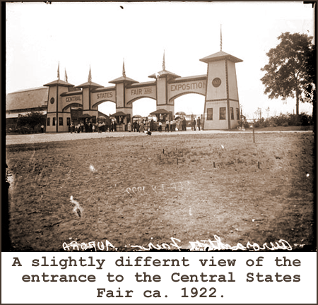
-- Image Source: SDN-074885, Chicago Daily News negatives collection, Chicago History Museum.
-- Image Source: SDN-074884, Chicago Daily News negatives collection, Chicago History Museum.
-- Image Source: SDN-074890, Chicago Daily News negatives collection, Chicago History Museum.
|


|
|